 |
 |
 |
 |
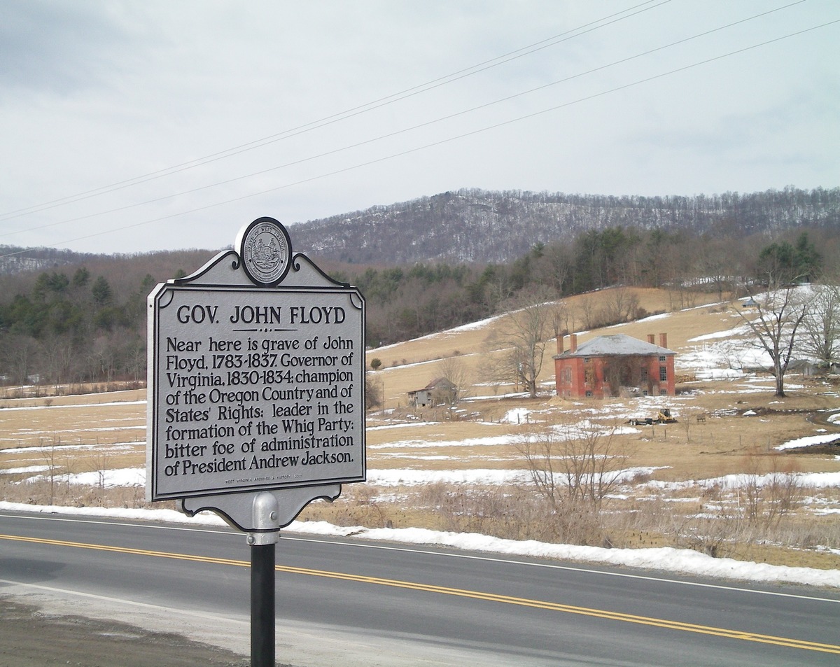
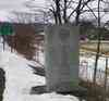
The West Virginia John Floyd marker and the Lynnside
house. Picture taken February 2014. Click on image for
full size picture.
|
The Lewis family and Catholic Cemeteries are at the top of
the hill. Picture taken February 2014. Click on image for
full size picture.
|
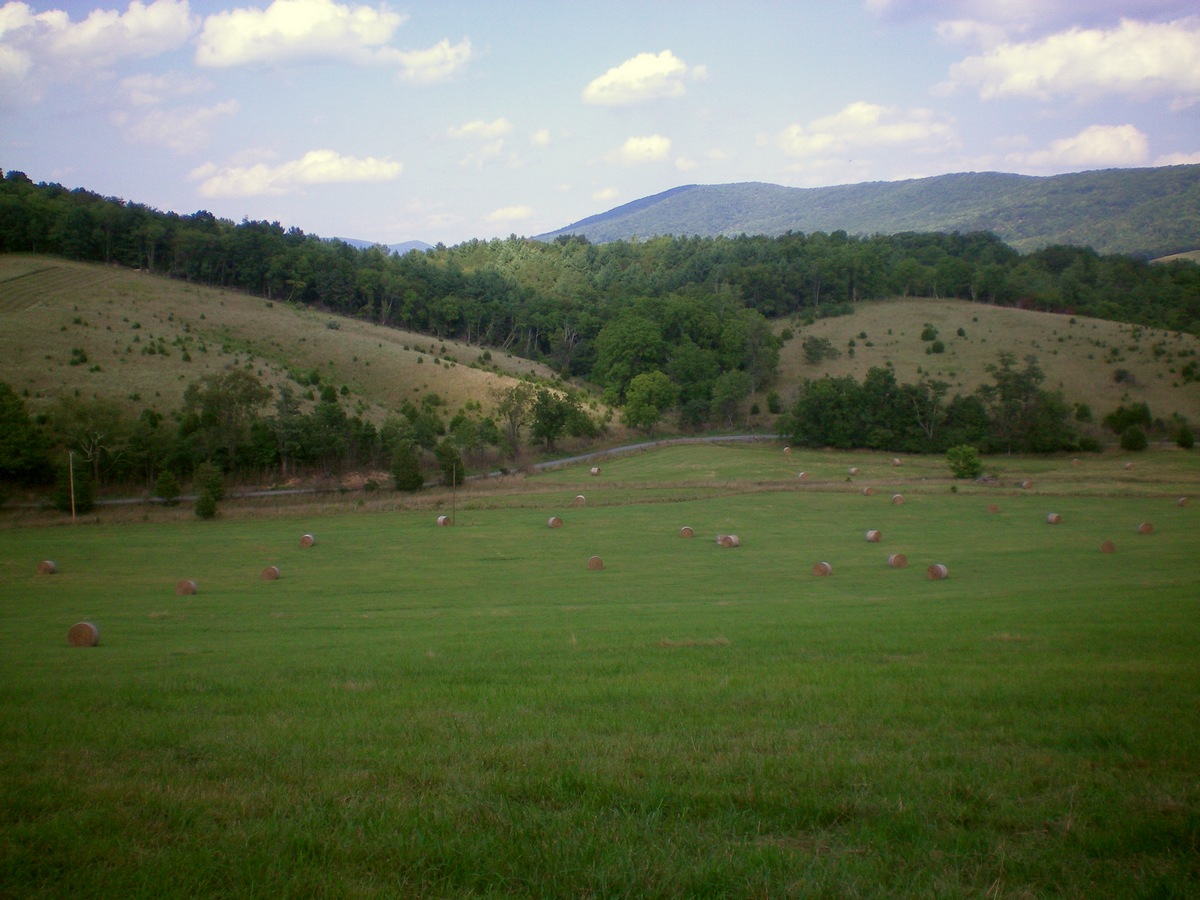
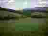
The view from the cemeteries. This is the reverse view
from the one at the left and taken at a different season.
Picture taken August 2014. Click on image for full size
picture. |
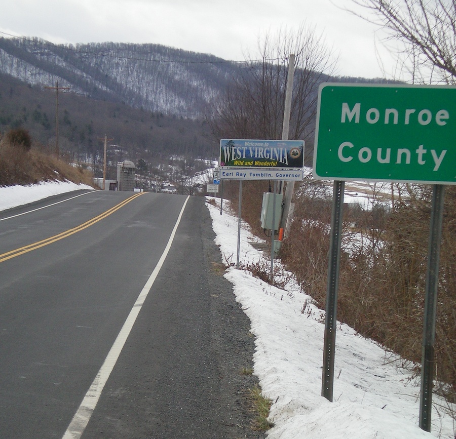
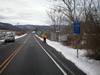
The view on Route 3 about a mile from
Lynnside, entering Monroe County, WV, from Virginia. Click
on image for full
|
 |
 |

|
|
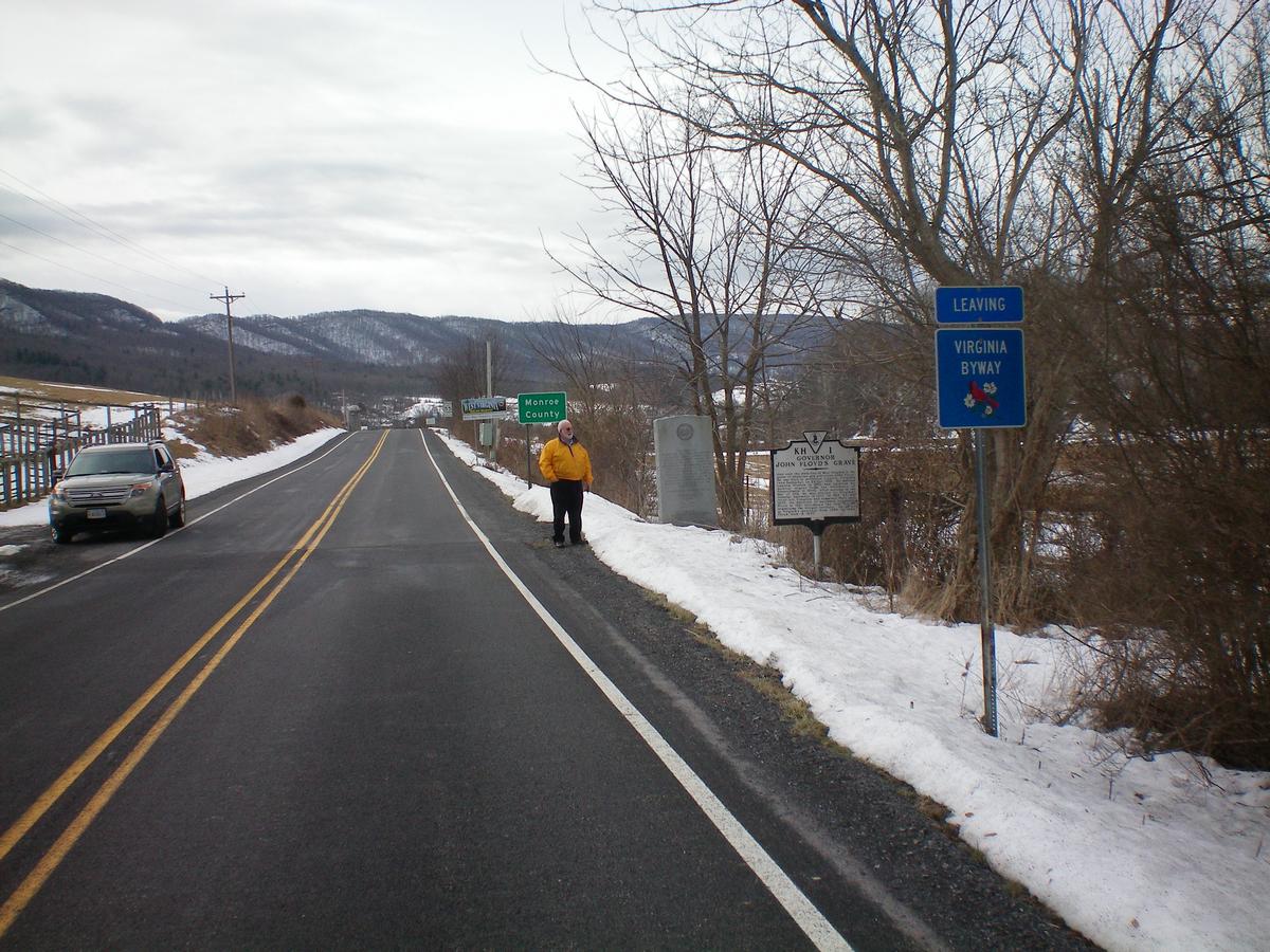
| Smithfield
Plantation Floyd family genealogist Ray Scott at the state
line. Click on image for full size
view. |
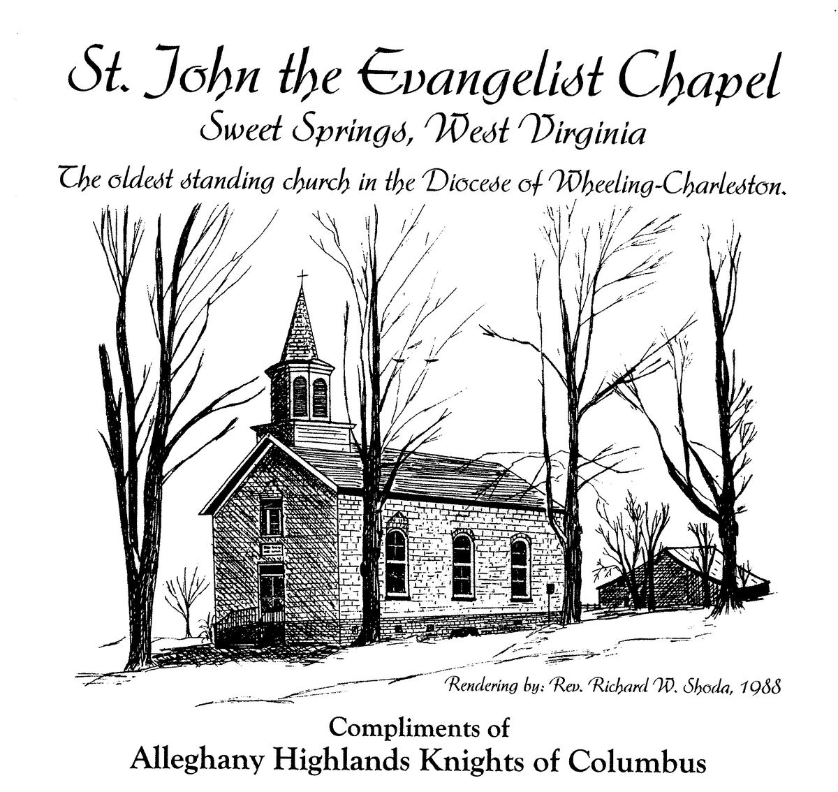
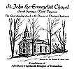
Sketch of St. John's Chapel by
Rev. Richard W. Shoda, 1988. Click on image
for full size view. |
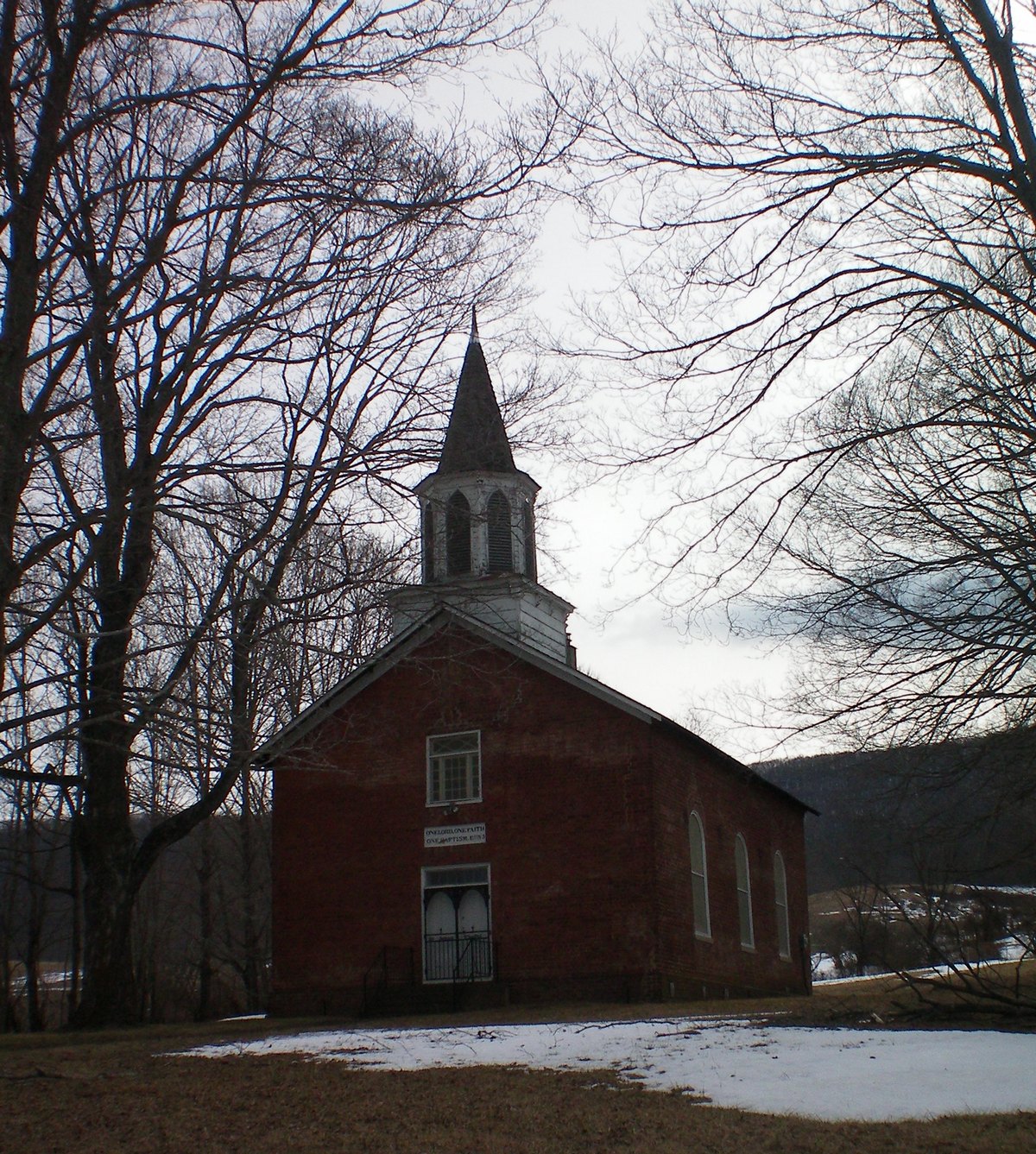
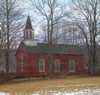
St. John's Chapel
seen in February 2014. Click on
image for full
size view. |
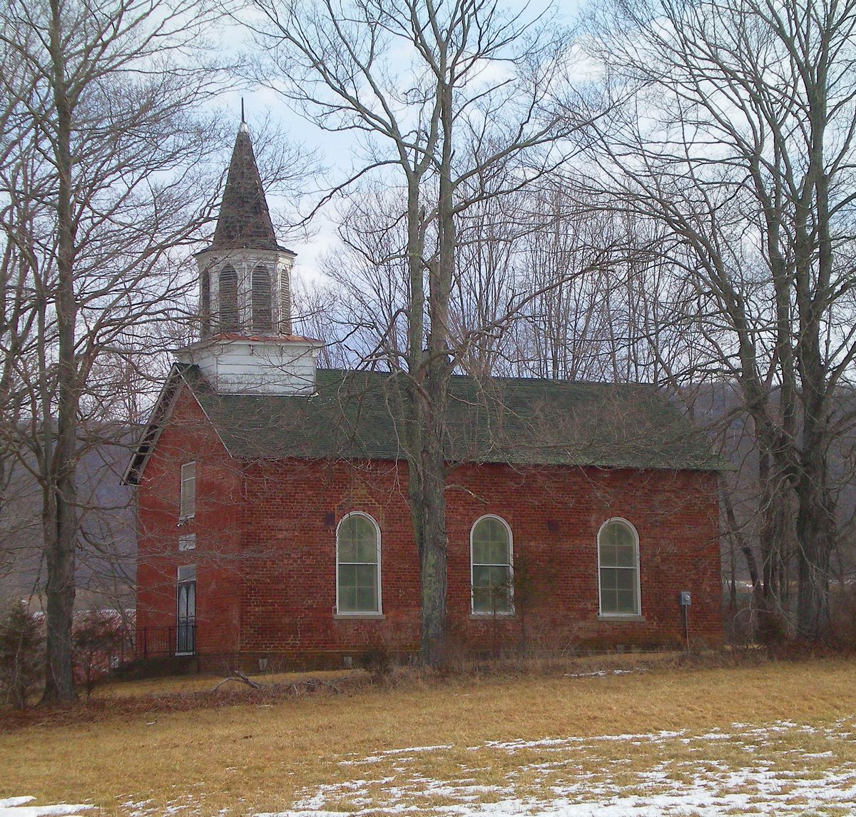
St. John's Chapel seen in
February 2014. Click on image for full size
view. |
 |
 |
|
|
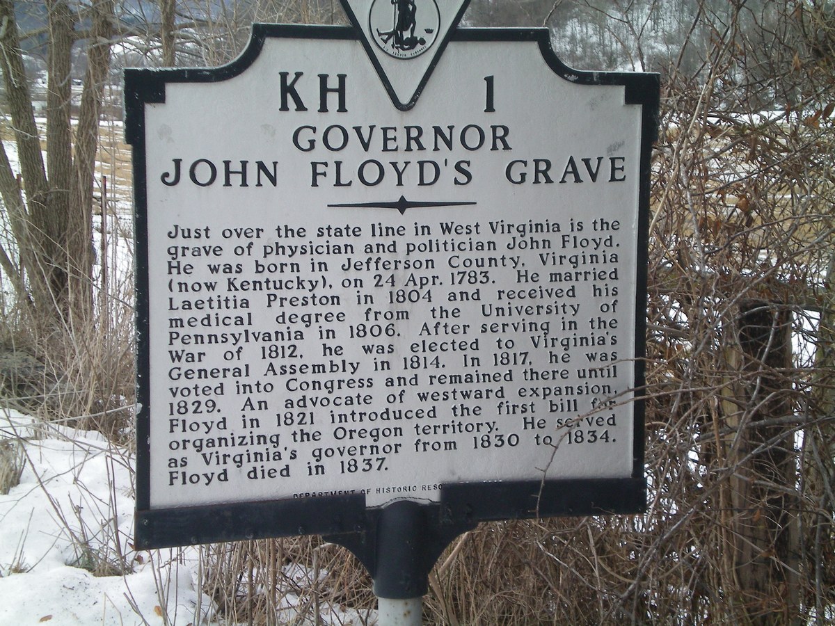
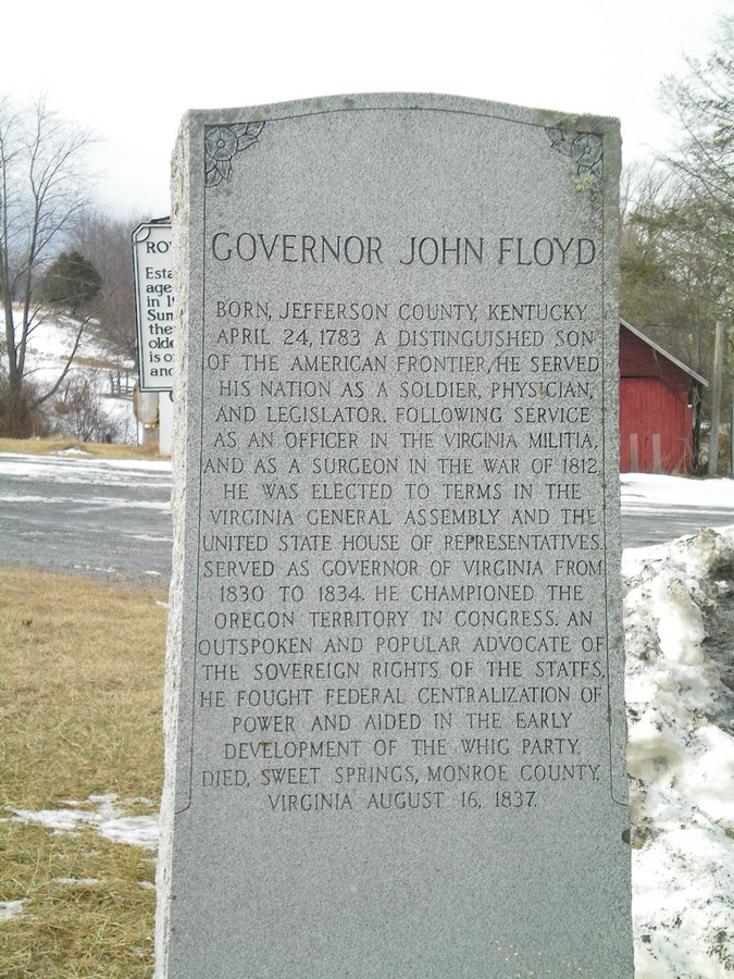
| The Virginia marker for the
grave of Governor John Floyd. Click on image for full size view. |
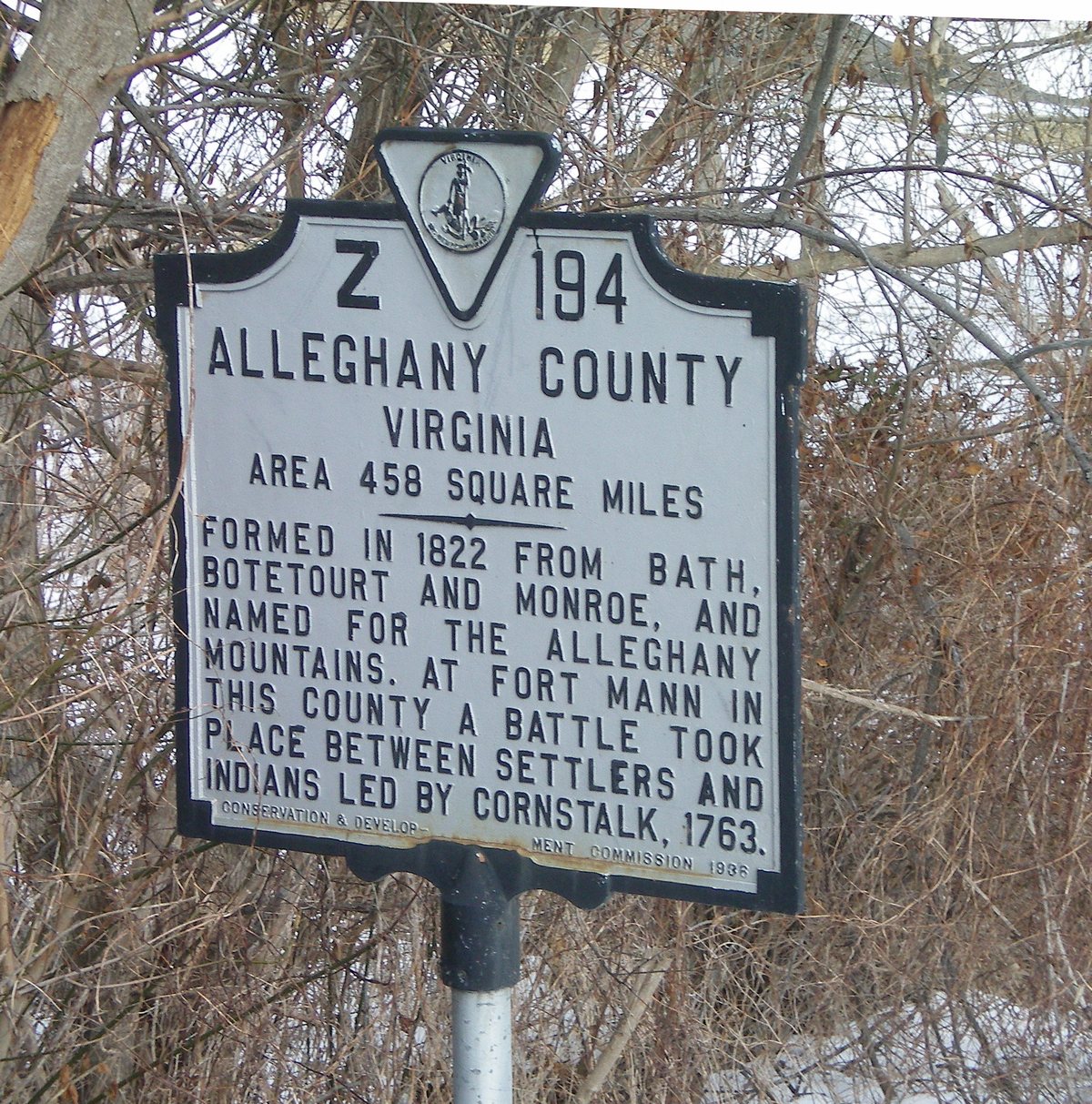
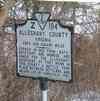
Alleghany County Virginia,
marker at the WV-VA state line near Sweet Springs. Click
on image for full size view. |
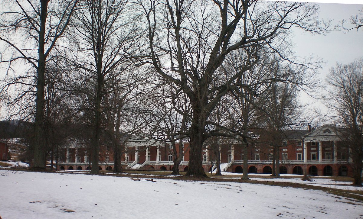
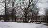
The Old
Sweet Springs main building seen in February 2014.
Click on image for full size view. |
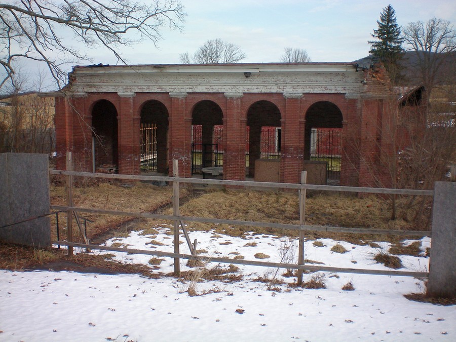
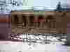
The bath house at the Old Sweet
Springs seen in February 2014. Click on
image for full size view. |
|
|
|
|
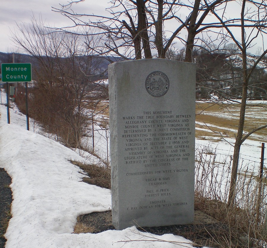
| The boundary monument at the WV-VA state line near Sweet
Springs. Click on image for full size view |
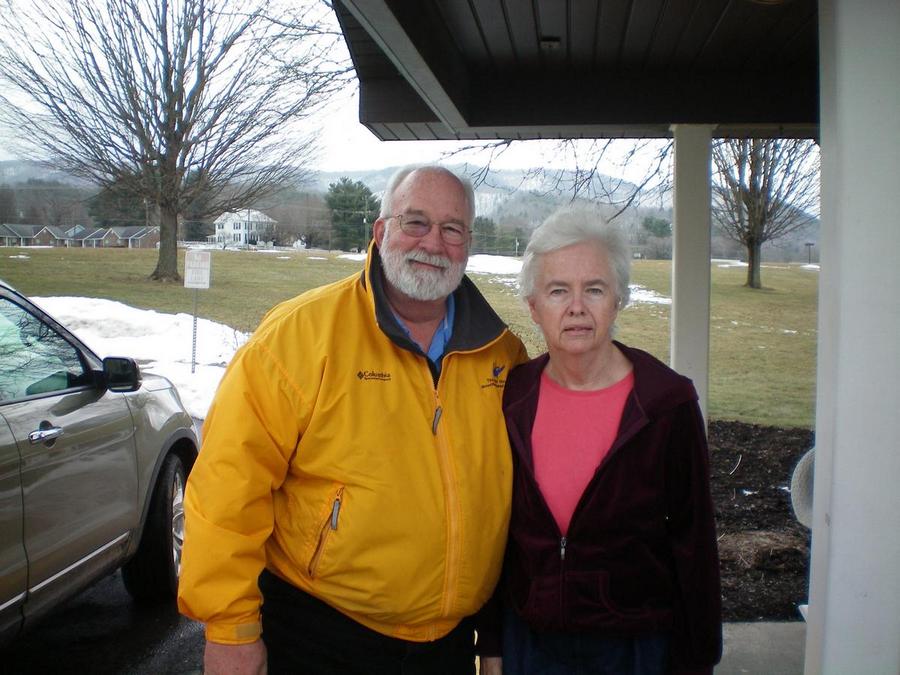
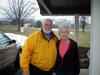
Ray Floyd and Lynn Spellman in February 2014 in White
Sulphur Springs. Click on image for full
size view. |
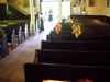
Dave and Marian Novak inside St. John's Chapel in August
2014. Click on image
for full size view. |
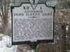
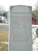
The West Virginia monument to John Floyd near Lynnside. Click on image for full
size view. |